Booking choice: The half-day Cape Point tour, from $40 per person. Check dates Tour details
The short answer is no. The official boundary between the Atlantic and Indian oceans, as set by the International Hydrographic Organization, runs south from Cape Agulhas along 20 degrees east, about 150 km from Cape Point (South Africa Info). There is no line in the water, no colour change and no spot where you can stand with a foot in each.
There is something real behind the story, though: two very different currents, one cold and one warm, and a bay on each side of Cape Point with very different water.
The quick answer
No. The Atlantic and Indian oceans officially meet at Cape Agulhas, Africa's southernmost point, about 150 km east-southeast of Cape Point. The cold Benguela and warm Agulhas currents mix somewhere between the two capes, in a zone that moves, and you can't see it. What you can see is the difference between the cold Atlantic coast and the warmer water of False Bay.
Do the oceans meet at Cape Point?
No. The International Hydrographic Organization puts the boundary at Cape Agulhas. Wikipedia calls the Cape Point claim a common misconception.
Both Cape Point and Cape of Good Hope articles on Wikipedia say it plainly: the belief that the oceans meet here is a myth, and the meeting point of the currents shifts, usually somewhere between Cape Agulhas and Cape Point. There is no visible line in the ocean.
The myth survives because it sells. A UCT oceanographer, Howard Waldron, put it well, quoted by South Africa Info: "Oceans exchange water all the time, and there is never a neat dividing line."
Where do the Atlantic and Indian oceans actually meet?
At Cape Agulhas, by the official definition: the IHO sets the boundary along the meridian of 20 degrees east, running south from the cape.
The International Hydrographic Organization draws the western edge of the Indian Ocean down the 20th meridian east from Cape Agulhas, at 34 degrees 50 minutes south (South Africa Info). South Africa's navy hydrographic office and the UCT oceanography department accept that line. A marker at the tip of Cape Agulhas shows the outline of the continent, and the area is part of Agulhas National Park, also run by SANParks (Wikipedia).
Even there, the line is a convention. You will not see the water change colour at Agulhas either.
Both capes and the penguins in half a day from your hotel, with 45 minutes at the lighthouse.
Check datesWhat are the Benguela and Agulhas currents?
The Benguela is a cold current running north up Africa's west coast from about Cape Point. The Agulhas is a fast warm current running south down the east coast.
- Benguela: cold, nutrient-rich water welling up from 200 to 300 m deep, driven by southeasterly winds. It runs from roughly Cape Point to southern Angola and feeds huge sardine and anchovy shoals (Wikipedia).
- Agulhas: one of the fastest currents in the world, with peak surface speeds around 1.4 m/s, carrying tropical Indian Ocean water south along the east coast (Wikipedia).
- Where they meet: south of Africa the Agulhas turns back on itself, the Agulhas Retroflection, and sheds warm eddies into the South Atlantic. That mixing happens far offshore and shifts with the seasons.
Winds can push warm water as far west as Cape Point on occasion, which is how the story got its grain of truth.
| Benguela Current | Agulhas Current | |
|---|---|---|
| Water | Cold, upwelled from 200 to 300 m | Warm, tropical Indian Ocean water |
| Direction | North, up the west coast | South, down the east coast |
| Range | From about Cape Point to southern Angola | Mozambique Channel to the tip of Africa, then back east |
| Felt at | Clifton, Camps Bay, Hout Bay | Durban and the east coast; rarely Cape Point |
Can you see where the two oceans meet?
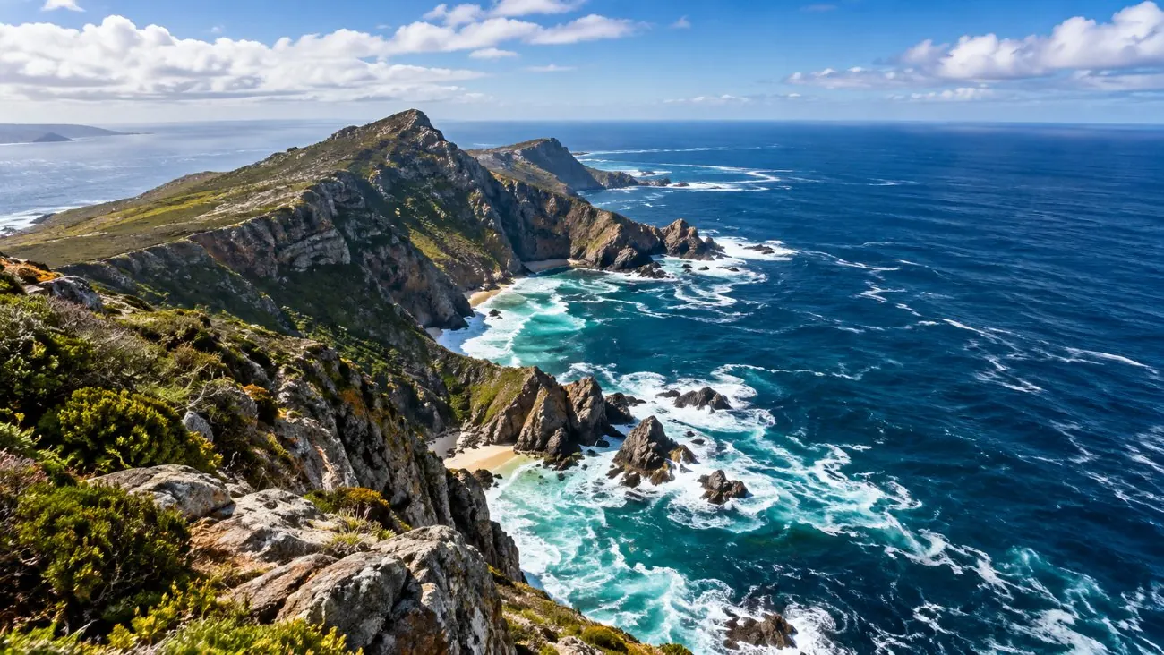
No. There is no line, colour change or meeting of waves anywhere on the peninsula. Photos online that show one are from somewhere else, or show a tide line.
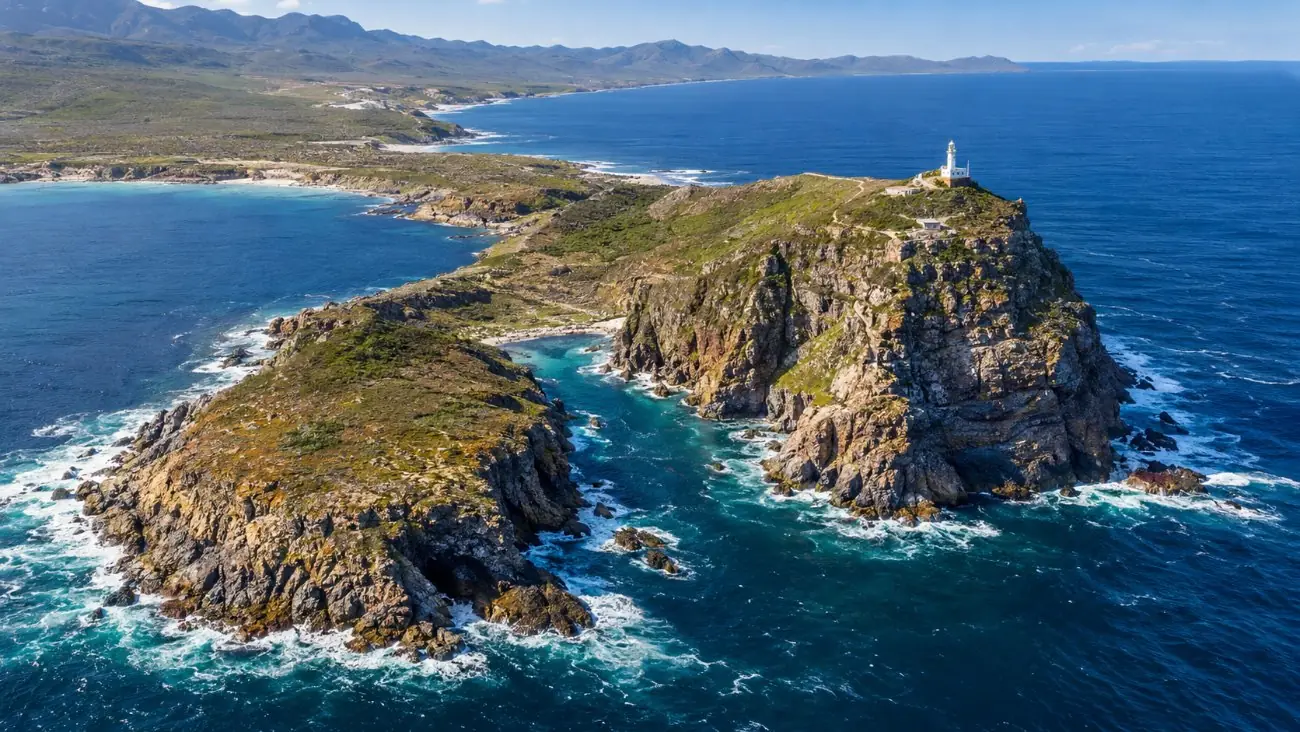
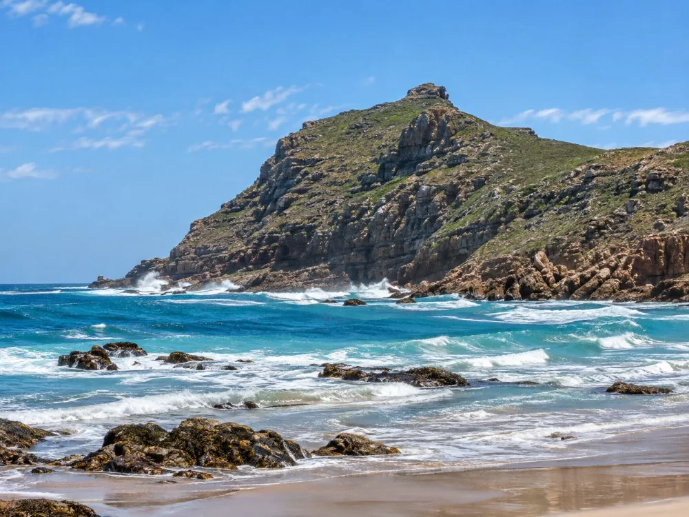
What you do see from the lighthouse is water on two sides: the open Atlantic to the south and west, and False Bay to the east. Both are the Atlantic by the official definition. On calm days you can see wind lines and current streaks on the surface. They are not an ocean boundary.
If your guide points to a line in the sea, enjoy the view anyway. The view is the real thing.
Why is False Bay warmer than the Atlantic side?
Because it is shallow and sheltered from the cold upwelling. Muizenberg often reaches about 20 degrees in summer; Clifton on the Atlantic side runs 12 to 16 degrees and sometimes drops below 10.
This is the difference you can feel. On the Atlantic coast, summer southeasterlies push the surface water offshore and colder water rises to replace it, so Clifton can drop below 10 degrees in summer (Wikipedia). In False Bay, the Cape Argus reports Muizenberg often reaching a pleasant 20 degrees.
Kelp forests tell the same story. The big kelp that likes cold water grows along the west coast and stops at Cape Agulhas (South Africa Info). The shift between the coasts is gradual, not a line.
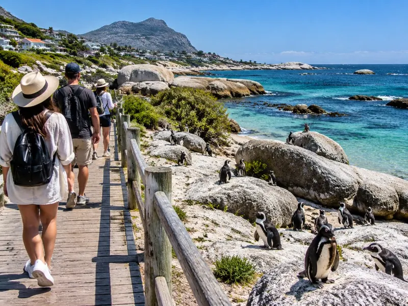
See both coasts in one loop: the cold Atlantic at Hout Bay and Chapman's Peak, then lunch on warm False Bay in Simon's Town.
Check dates Tour detailsWhat do you see from Cape Point instead?
False Bay and Simon's Town to the east, the open Atlantic to the south and west, and in season, whales.
- Whales: southern right whales come into False Bay from about May to the end of November, with numbers peaking in October (Cape Point). Sightings are never guaranteed.
- Seals and sharks: False Bay's Cape fur seals draw great white sharks, which is why Muizenberg has shark spotters (Wikipedia). Most tours stop at the Muizenberg shark-spotter hut on the way back.
- The lighthouses: the old one at the top, the 1919 one lower down. More in the funicular and lighthouse guide.
Is Cape Agulhas worth the trip instead?
Only if standing on the real southern tip and the official ocean boundary matters to you. It is about 170 km from Cape Town and makes a long day by itself.
Cape Agulhas has the official claim, a lighthouse from 1848 and the continent marker (Wikipedia). It does not have Cape Point's cliffs, penguins on the way or a short drive from the city. No tour on this site goes there.
For most visitors with a week or less, Cape Point is the better day and Agulhas a detour. Our honest verdict on Cape Point helps if you are torn.
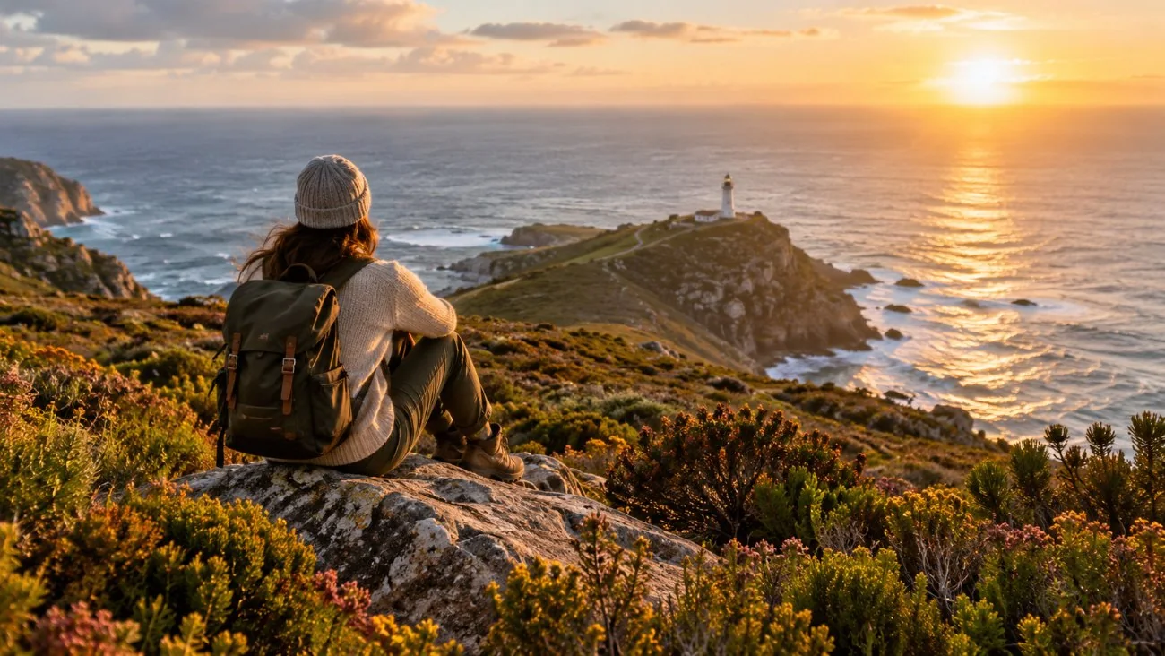
Half a day, both capes, the penguins and the shark-spotter stop at Muizenberg.
Check datesFrequently asked questions
Where can you see two oceans meet in South Africa?
Nowhere visibly. The official boundary is at Cape Agulhas, where a marker stands at Africa's southern tip, but the water looks the same on both sides.
Is the water warmer on one side of Cape Point?
Yes. False Bay to the east is often several degrees warmer than the Atlantic coast to the west, because it is shallow and sheltered from cold upwelling.
Why is the restaurant called Two Oceans?
It looks out over the water where the story places the meeting. The name is older than the correction.
Is Cape Point the southernmost point of Africa?
No. Cape Agulhas is, about 150 km to the east-southeast.
Ready to book
Choose your day trip
Free cancellation up to 24 hours before on every option. Prices are from-prices in USD and move with the season.
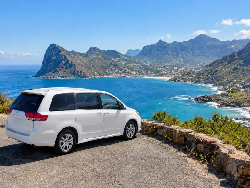
Cape Point & Boulders Beach Half Day
- Hotel pickup from 15 Cape Town areas
- Air-conditioned minivan and bottled water
- Chapman's Peak, Cape of Good Hope, Cape Point, Boulders
Cape Point & Boulders Beach Full Day
- Hotel pickup in Cape Town and the Atlantic suburbs
- Air-conditioned people carrier, tolls and fuel
- Cape of Good Hope, Cape Point and Boulders stops
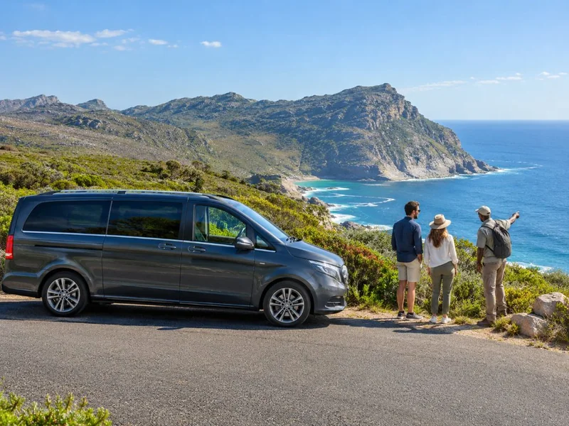
Private Cape of Good Hope Full Day
- Pickup and drop-off at your accommodation
- Private guide-driver and Mercedes-Benz or similar
- Chapman's Peak toll