Booking choice: The full-day Cape Point tour, from $44 per person. Check dates Tour details
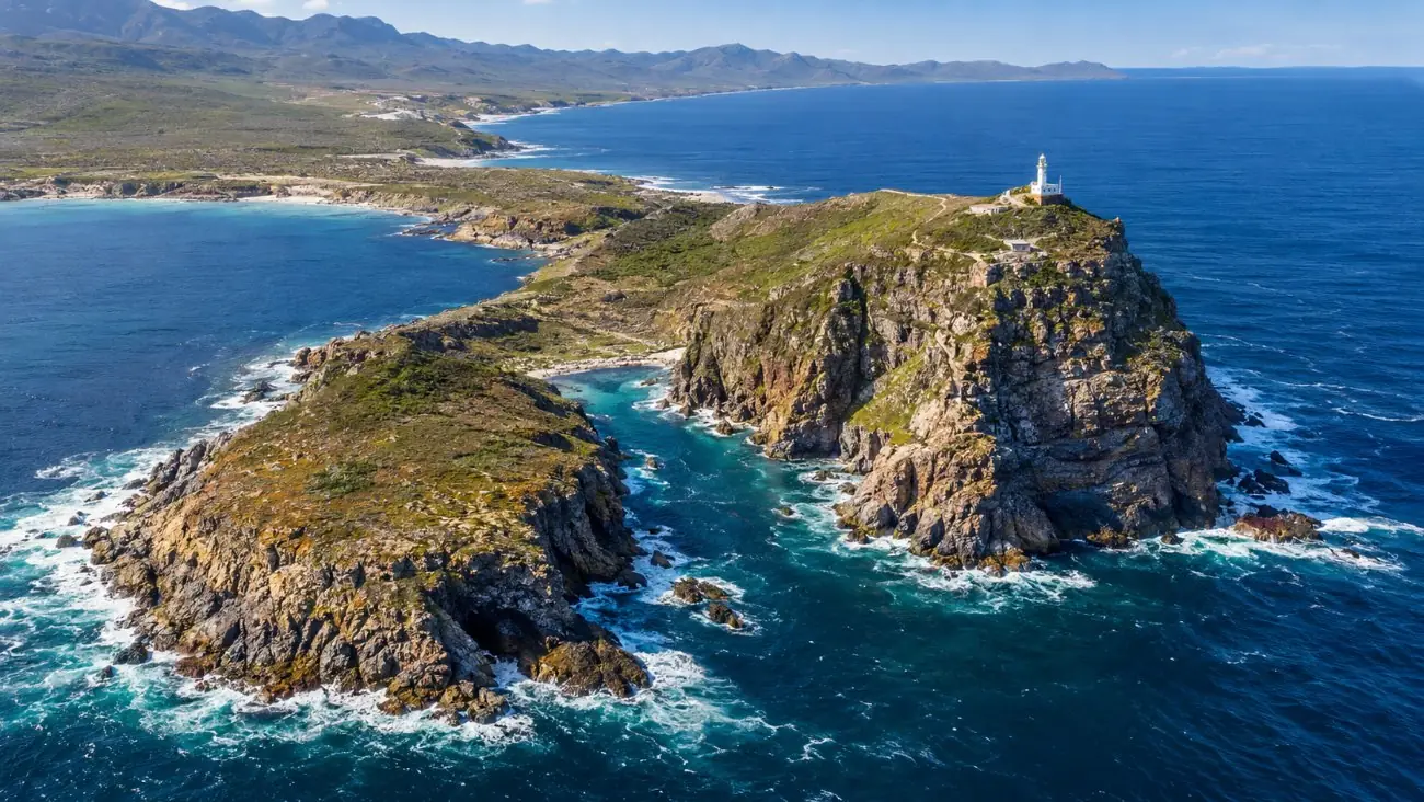
The Cape of Good Hope is the low, rocky headland at sea level on the Atlantic side, with the famous wooden sign. Cape Point is the high sandstone cliff about 2.3 km to the east, with the two lighthouses, the funicular and the restaurant. Both sit in the Cape of Good Hope section of Table Mountain National Park, and one daily fee covers both.
Neither is the southern tip of Africa. That is Cape Agulhas, about 150 km to the east-southeast (Wikipedia). Every tour on this site stops at both.
The quick answer
The Cape of Good Hope is the low headland with the sign, where you stand at the water. Cape Point is the high cliff 2.3 km east, with the lighthouses and the views. A trail joins them: about 3.5 km and 2 to 3 hours return. One gate fee covers both, and every tour here visits both.
What is the difference between Cape Point and the Cape of Good Hope?
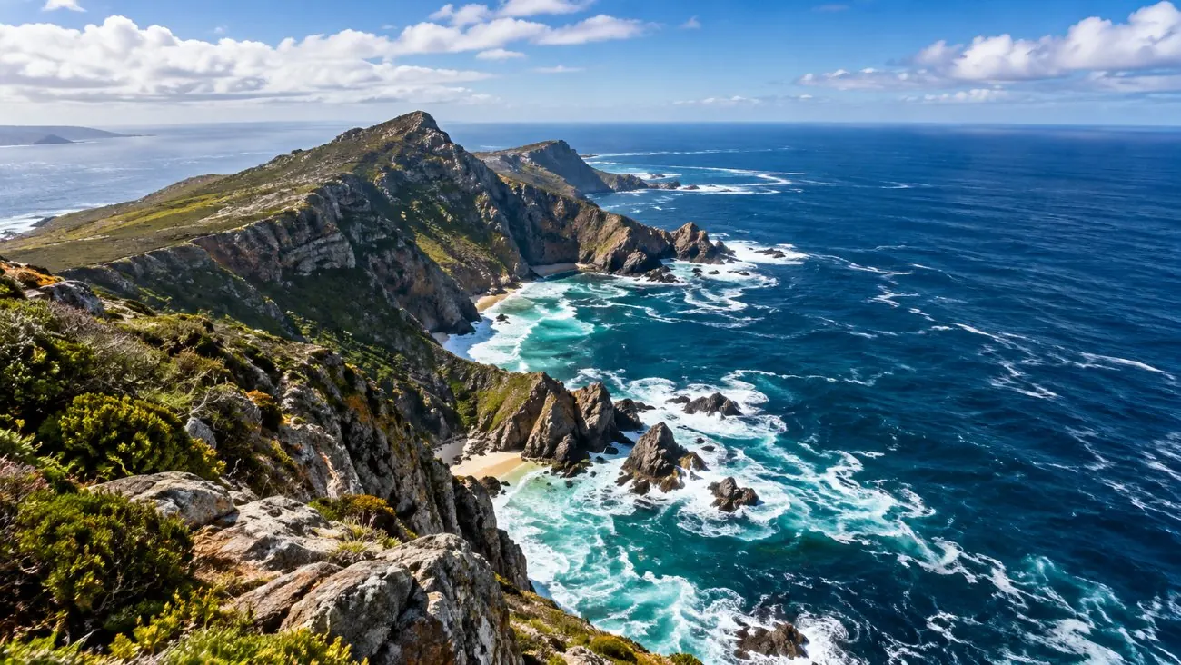
The Cape of Good Hope is the low rocky cape at sea level, the most southwestern point of Africa. Cape Point is the high cliff 2.3 km east, at the southeast corner of the peninsula.
Think of them as the two ends of one short ridge. At the Cape of Good Hope you stand on wet rock with the Atlantic swell breaking in front of you. At Cape Point you look down on the sea from about 200 metres up, with False Bay opening to the east.
| Cape of Good Hope | Cape Point | |
|---|---|---|
| What it is | Low rocky headland at sea level | High sandstone cliff and ridge |
| Famous for | The sign; Dias rounding it in 1488 | Two lighthouses, the funicular, the view |
| Facilities | Car park and the sign | Restaurant, shops, toilets, funicular |
| Time on a tour | 20 minutes to 1 hour | 45 minutes to 1 hour |
| Effort | None: step out of the car | 15-minute uphill walk, or the funicular |
| Fee | One gate fee covers both | One gate fee covers both |
Why is it called the Cape of Good Hope?
Bartolomeu Dias called it the Cape of Storms after rounding it in 1488. King John II of Portugal renamed it the Cape of Good Hope, for the hoped-for sea route to India.
Dias's "Cabo das Tormentas" became "Cabo da Boa Esperança" under John II (Wikipedia). The optimism paid off: Vasco da Gama sailed round a decade later and reached India. Two white navigation beacons in the reserve, the Dias Cross and the da Gama Cross, line up on Whittle Rock in False Bay, a hazard for ships.
Cape Point never needed a grand name. It needed a lighthouse, and got one in 1860. More on that in the funicular and lighthouse guide.
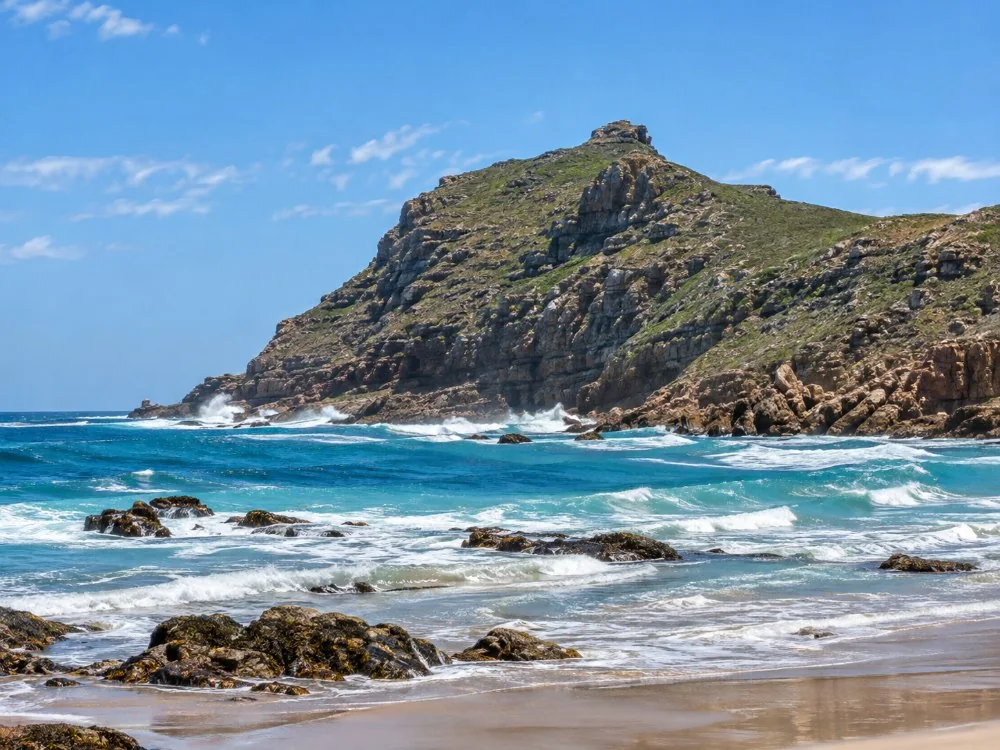
What is there to do at the Cape of Good Hope?
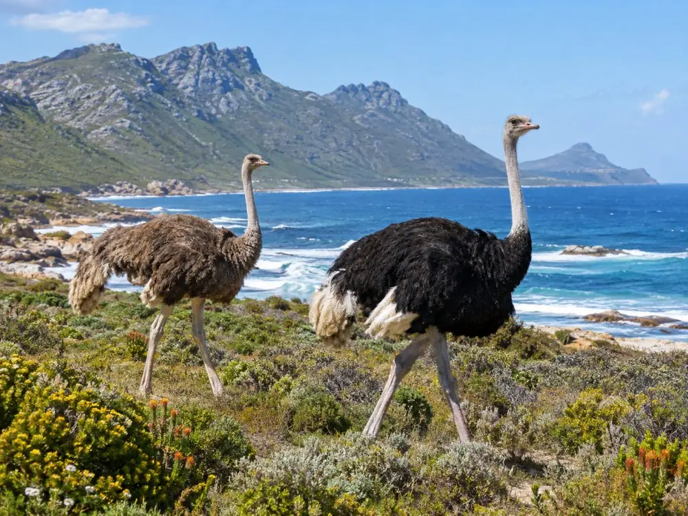
Take the photo at the sign, walk out on the rocks, and look for ostriches on the drive in. Most people need 20 to 30 minutes.
The sign is the reason the car park fills up. It names the spot as the most southwestern point of the African continent (Atlas Obscura), and everyone wants the same photo. Go early or late in the day if you are driving yourself.
Ostriches walk the roads and beaches near Buffels Bay and Bordjiesrif, according to Cape Town Tourism. Buffels Bay also has tidal pools and picnic sites. The half day gives you 20 minutes here; the private tour gives you an hour.
Both capes, Boulders and Chapman's Peak in one day from your hotel, for $44.
Check datesWhat is there to do at Cape Point?
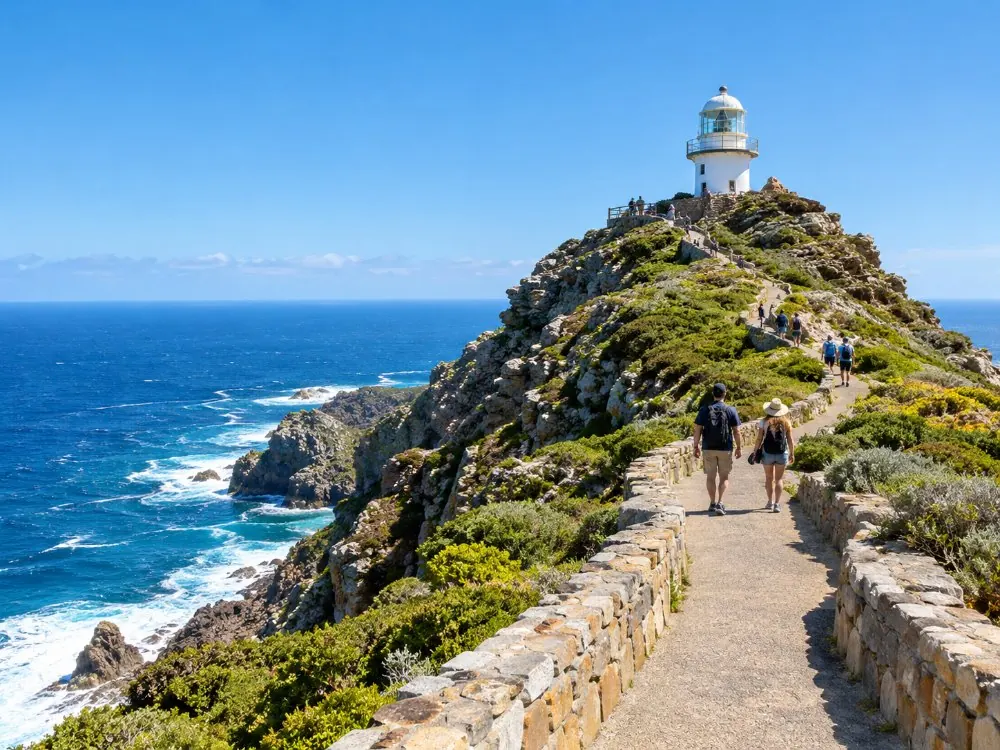
Climb to the old lighthouse on foot or by funicular, walk on to the view of the newer lighthouse, eat at the Two Oceans Restaurant and look for whales over False Bay.
- The old lighthouse: about 15 minutes uphill on a paved path from the car park, or 3 minutes on the Flying Dutchman funicular.
- Lighthouse Keeper's Trail: about 2 km and an hour return to a view of the 1919 lighthouse lower on the cliff (Cape Point walks).
- Whales: southern right whales from about May to the end of November, peaking in October, best seen from the restaurant deck or the clifftop trail (Cape Point). Never guaranteed.
- Food: the Two Oceans Restaurant opens 11:00 to 17:30 in summer, with a food shop and gift store from 09:00.
Can you walk from Cape Point to the Cape of Good Hope?
Yes. The Cape of Good Hope Trail runs about 3.5 km from Cape Point to the sign, and Cape Point rates it easy at 2 to 3 hours return.
The trail starts near the Cape Point car park and follows the clifftops west, past the view down onto Dias Beach, to the Cape of Good Hope. Figures are from Cape Point's own walks page; SA Venues gives about 3 km and 2 hours. One way, plan on an hour or a little more.
No shared tour schedules it. On a self-drive day it is the best walk in the reserve; leave a car at one end or walk back. On the private tour you can ask the driver to drop you at one cape and collect you at the other. Wind can be strong on the ridge, so carry a layer and water.
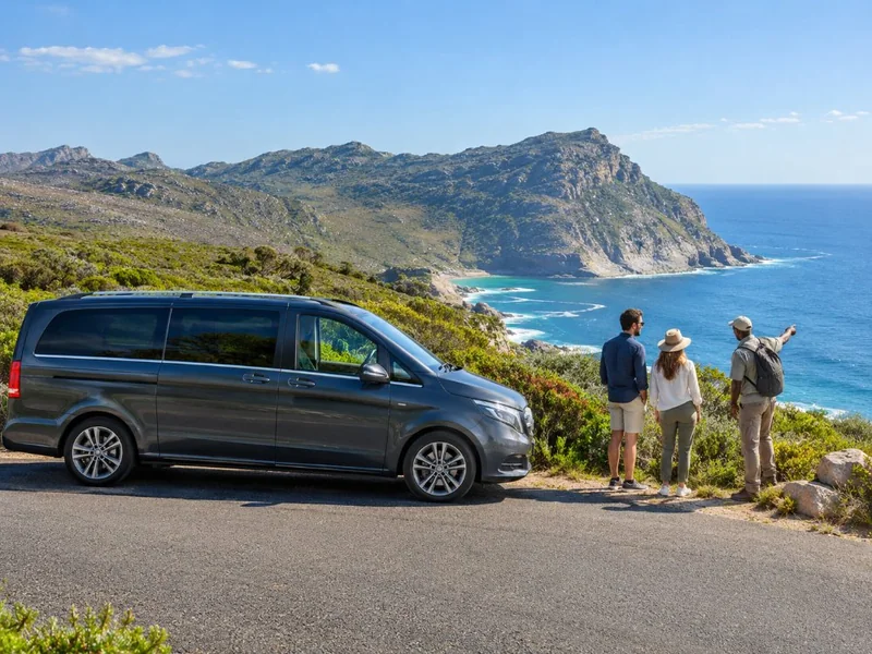
Your own guide and car: walk the clifftop trail between the capes and be collected at the other end.
Check dates Tour detailsHow do you get down to Dias Beach?
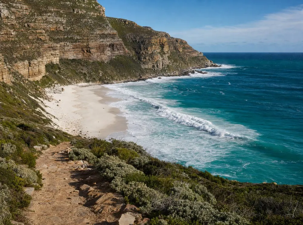
By a steep wooden staircase from the cliffs between the two capes. Swimming is discouraged because of dangerous currents.
Dias Beach is the white sand cove below the cliffs, named after Bartolomeu Dias. Cape Town Tourism describes it as tucked away down a steep wooden staircase, quiet, with baboons sometimes on the sand and currents that make swimming a bad idea. Treat it as a place to look, not to swim.
It is not on any tour itinerary here, and the climb back up eats time. On a shared tour you see it from above. Self-drivers on a long day can fit it in on the Cape of Good Hope Trail.
Which one do Cape Point tours stop at?
Both. Every tour on this site stops at the Cape of Good Hope and at Cape Point. Time at each varies from 20 minutes to an hour.
- Half day: Cape of Good Hope 20 minutes, Cape Point lighthouse 45 minutes.
- Full day: both capes, the lighthouse by funicular or the 15-minute walk.
- Private: about an hour at each, including the newer lighthouse.
- E-bike: you ride to both, then walk up to the lighthouse.
- Table Mountain combo: both capes, with a hike or the funicular at Cape Point.
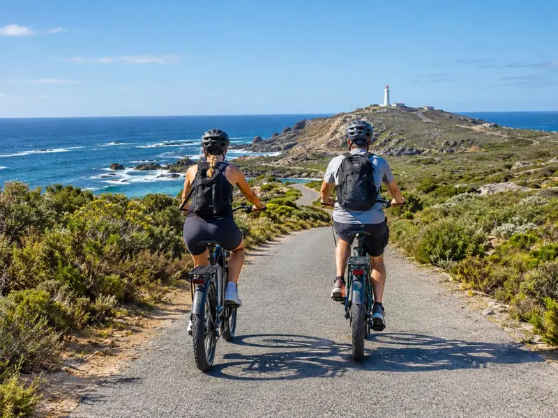
Ride to both capes on reserve roads, with the park fee in the price.
Check datesIs Cape Point the southern tip of Africa?
No. Cape Agulhas, about 150 km to the east-southeast, is the southernmost point of the African mainland. The Cape of Good Hope is the most southwestern point.
Cape Agulhas sits roughly half a degree of latitude, about 55 km, further south than the Cape of Good Hope (Wikipedia). It is also where the official boundary between the Atlantic and Indian oceans begins. That is a different day trip, about 170 km from Cape Town. The full story is in do the oceans meet at Cape Point.
Frequently asked questions
Do I need two tickets for Cape Point and the Cape of Good Hope?
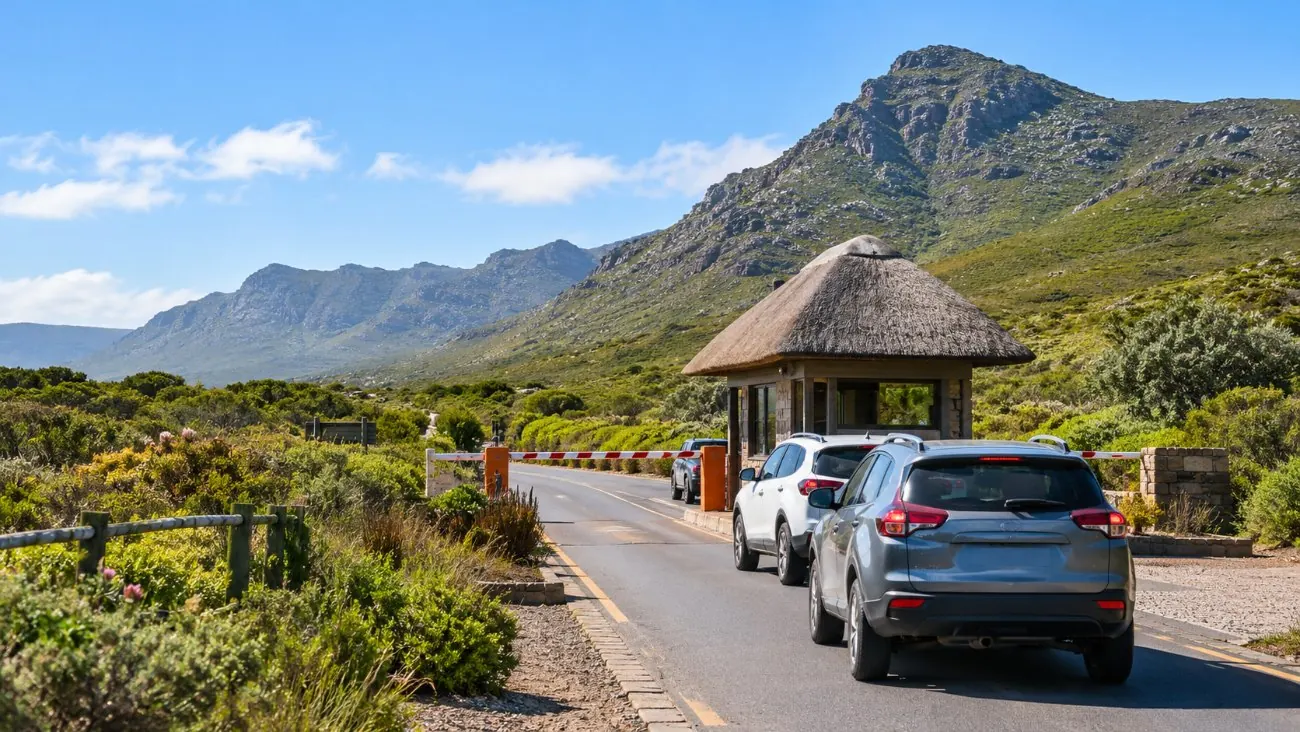
No. One daily gate fee covers both: R592 per foreign adult from 1 November 2026.
Which is better, Cape Point or the Cape of Good Hope?
Cape Point, for the views and the lighthouse. The Cape of Good Hope is a short photo stop. Every tour visits both, so you don't have to choose.
How far apart are Cape Point and the Cape of Good Hope?
About 2.3 km in a straight line. The walking trail is about 3.5 km one way.
Is the Cape of Good Hope where the oceans meet?
No. The official boundary is at Cape Agulhas, about 150 km to the east-southeast.
Ready to book
Choose your day trip
Free cancellation up to 24 hours before on every option. Prices are from-prices in USD and move with the season.
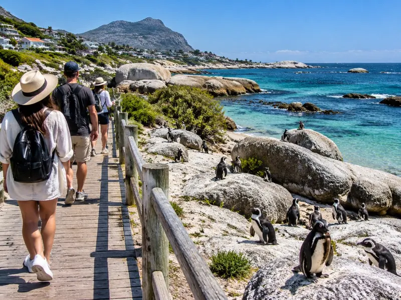
Cape Point & Boulders Beach Full Day
- Hotel pickup in Cape Town and the Atlantic suburbs
- Air-conditioned people carrier, tolls and fuel
- Cape of Good Hope, Cape Point and Boulders stops
Private Cape of Good Hope Full Day
- Pickup and drop-off at your accommodation
- Private guide-driver and Mercedes-Benz or similar
- Chapman's Peak toll
Cape Point E-Bike Adventure
Ride the reserve roads to both capes; the park fee is in the price